

The era of relying solely on outdated 2D paper schematics or cumbersome terrestrial scanners to map industrial modifications is ending. For plant engineers, generating highly accurate 3D spatial models of infrastructure used to be a logistical nightmare, requiring specialized third-party contractors and tens of thousands of dollars in bulky equipment.
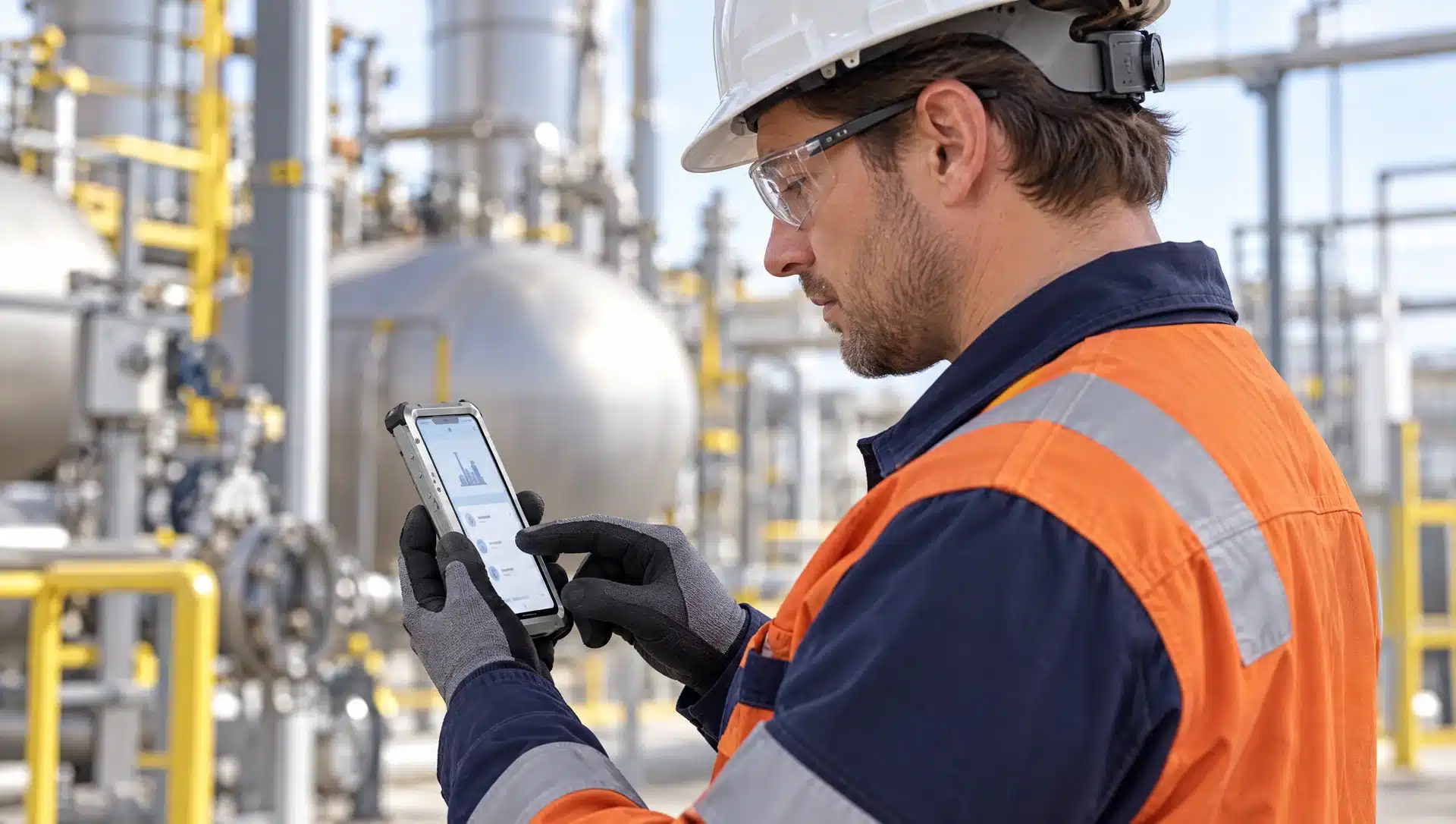
Today, Atexxo Manufacturing is transforming this workflow. By engineering explosion-proof enclosures for LiDAR-equipped devices like the explosion proof iPhone 17 Pro Max, we are bringing centimeter-accurate 3D scanning directly into the hands of field technicians during their routine maintenance rounds.
Breaking the bottlenecks of traditional 3D surveying
While high-end terrestrial scanners deliver incredible millimeter precision, their operational footprint makes them highly impractical for daily use. Setting up heavy tripods on narrow catwalks or around tight pipe manifolds often disrupts ongoing plant operations. Because of the cost and setup time, facilities usually reserve these scans for massive, site-wide engineering baseline projects.
This creates a massive data gap for smaller, day-to-day modifications. If a new valve cluster or pipe spool is installed between major turnaround cycles, the digital records fall out of sync with reality, leading to costly errors down the line.
The mobile LiDAR advantage in volatile environments
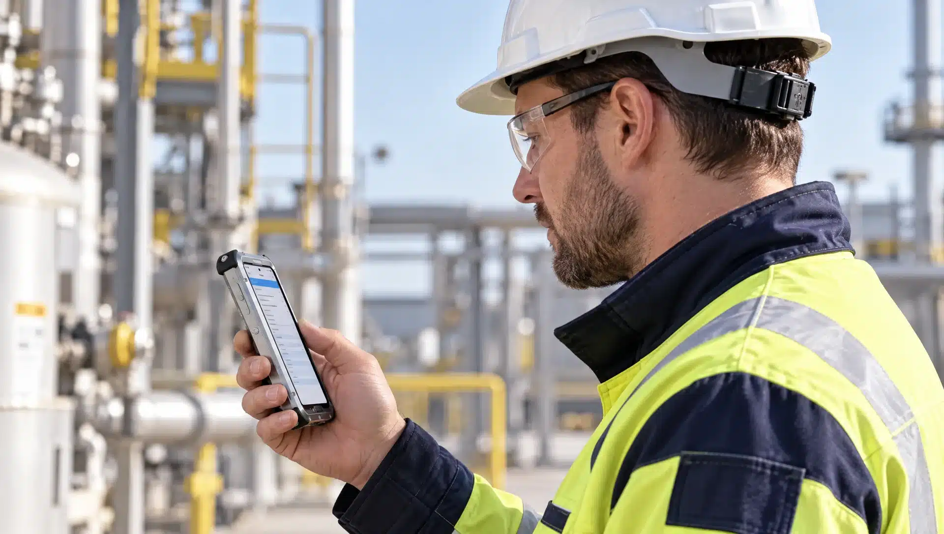
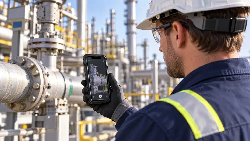
Using an intrinsically safe mobile device equipped with LiDAR (light detection and ranging) bridges this gap. When a technician is already in the field, they can simply point their certified smartphone at an asset and instantly generate a dense 3D point cloud.
Here is how mobile scanning compares to traditional terrestrial methods for everyday industrial use:
| Feature | Traditional terrestrial scanners | ATEX-certified mobile LiDAR |
| Primary application | Site-wide geographical baselines | Targeted as-built capture and fast updates |
| Optimal capture range | Long distances (up to 100 meters) | Close proximity (optimal within a 5-meter radius) |
| Equipment footprint | Bulky transit cases and heavy tripods | Pocketable, handheld device |
| Operator requirements | Specialized external survey contractors | Intuitive apps for in-house technicians |
| Data processing | Delayed batch processing off-site | Instant on-device rendering and cloud sync |
To better understand how these operational variables impact your specific facility, explore the comparison tool below:
Fueling a living digital twin
A digital twin is only valuable if it perfectly mirrors the physical plant. If spatial data is only updated every five years, the model becomes an obsolete snapshot.
By equipping your workforce with ATEX-certified mobile LiDAR tools, updating the digital twin becomes a continuous, frictionless process. A technician scans a newly installed manifold, the mobile app (such as RealityCapture, Matterport, or Polycam) processes the 3D mesh instantly, and the file is exported directly into the facility’s central CAD platform.
This enables engineers to perform precise clash detection, ensuring replacement hardware actually fits before it is shipped to the site. It also validates “as-found” equipment states, drastically reducing expensive field modifications during scheduled shutdowns.
Navigating compliance: why standard devices fail
Bringing an uncertified consumer smartphone into a classified hazardous area is a severe violation of safety laws and introduces catastrophic ignition risks. Consumer devices are not designed to contain thermal runaways or electrical arcing, meaning a single hardware fault could trigger an explosion.
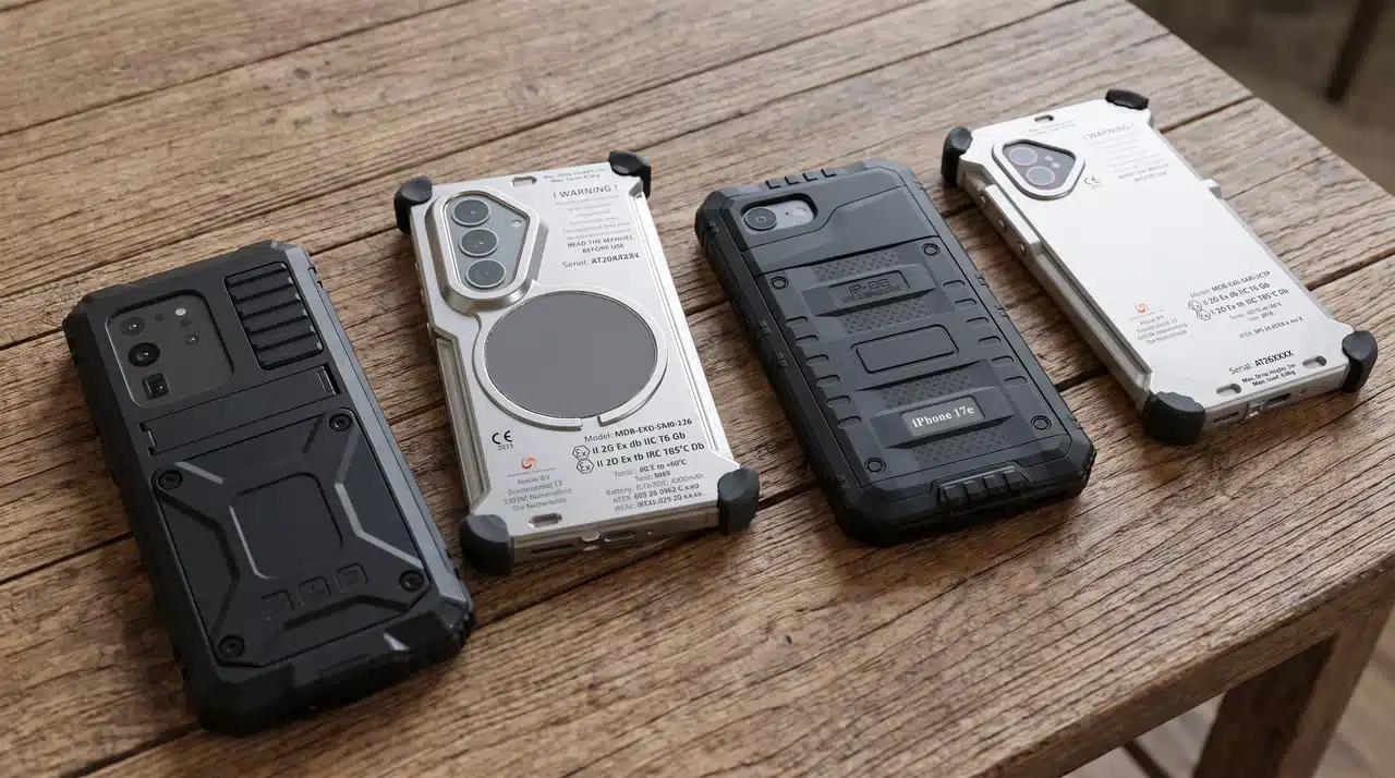
To leverage mobile LiDAR legally in Zone 1 and Zone 2 environments, the hardware must be sealed within a specialized enclosure. Atexxo Manufacturing engineers these housings to strictly contain any potential energy release while preserving the optical clarity required for the LiDAR sensor to function accurately.
Frequently asked questions
What is the practical scanning range of an intrinsically safe mobile LiDAR device?
The LiDAR sensors found on modern flagship smartphones deliver optimal spatial accuracy at distances up to 5 meters. They are perfectly suited for targeted as-built documentation, such as valve clusters and structural mounting interfaces, rather than scanning an entire facility from a distance.
How does mobile 3D scan data integrate with existing engineering software?
Mobile scanning applications export point clouds and meshes in universal formats (such as .PLY, .OBJ, and .LAS). These files can be imported directly into standard CAD software, BIM platforms, and enterprise digital twin databases without requiring proprietary conversion tools.
Can I use a regular smartphone with LiDAR inside an ATEX zone if it has a rugged case?
Absolutely not. A standard rugged drop-proof case offers zero protection against explosive ignition. The device must be permanently housed in a certified explosion-proof enclosure that has been rigorously tested and approved for ATEX or IECEx classified zones.